Our Address:
Ox Ranch
1946 Private Road 2485
Uvalde, TX 78801
Campwood Directions (30 minutes)
Bracketville Directions (32 minutes)
San Antonio Directions (1h and 59 minutes)
Austin Directions (3h and 16 minutes)
Warning: Our address only works in google maps. If you try using any other GPS or map service, you will most likely end up 30+ miles away from our location!
Warning: We recommend printing out directions prior to departing. The only cell phone provider that works near the ranch is AT&T, and it is spotty at best.
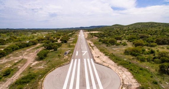
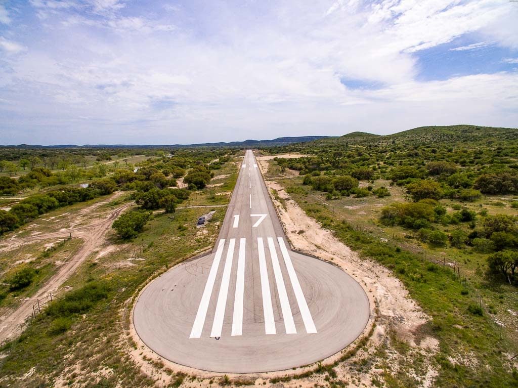
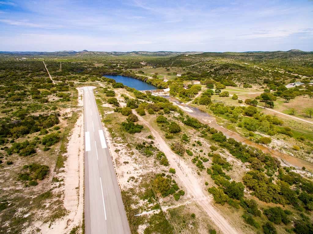
Why not fly directly to the ranch?
You can land directly on the ranch using our 5,744 ft x 70 ft instrument marked and painted runway!
Airport ID 10X
Ox Ranch Airport is a privately owned public use airport and requires coordination prior to landing.
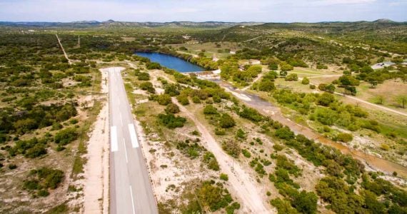
Runway 17/35 is 5744 feet long and 70 feet wide.
The runway is 1,305 feet above MSL and is in a valley 35 NMs southeast of Rocksprings (RSG) VOR on the 154 Radial.
Your GPS can find us at N29° 27′ 41.34″ W100° 6′ 51.44″. (The ARP)
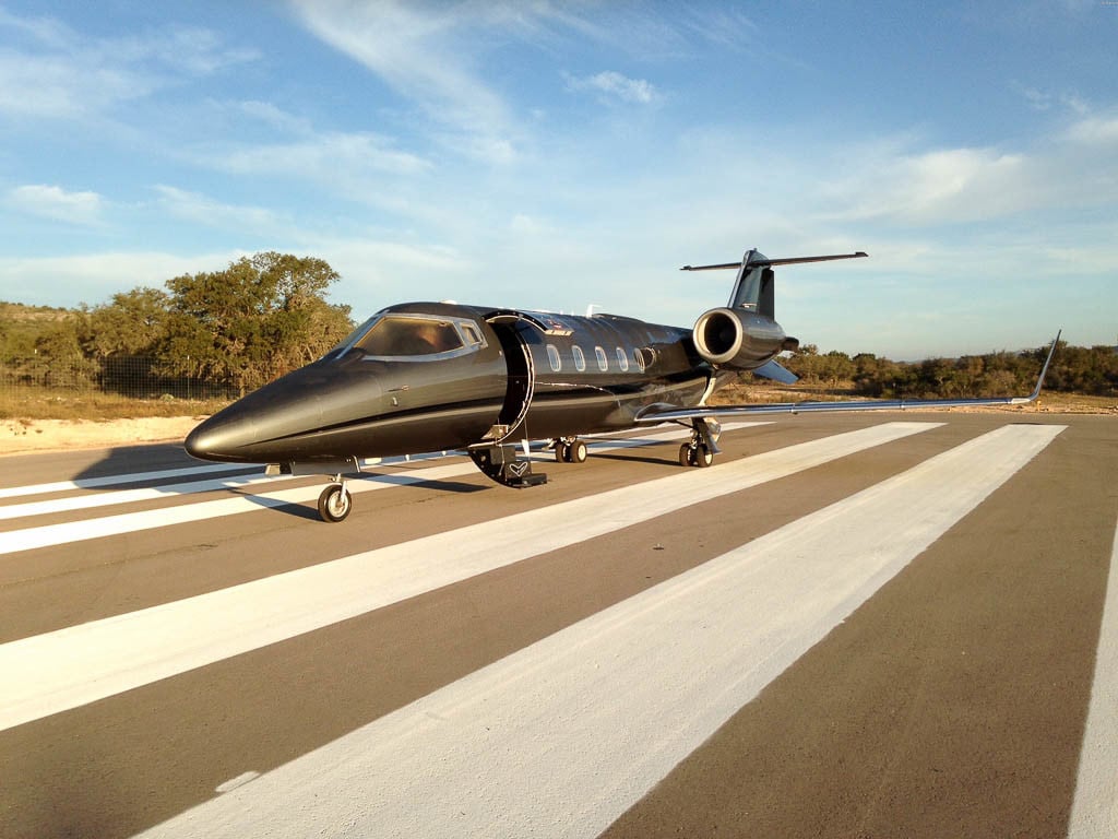
If you don’t have a plane / jet, no problem you’re more than welcome to charter from one of our proven partners. Please contact us here to obtain a free quote.
Please visit our airport website here to obtain the necessary documentation to land at the ranch.
Contact Us